Eagan Water Monitoring, June 21st, 2006
UMD Water Field Testing
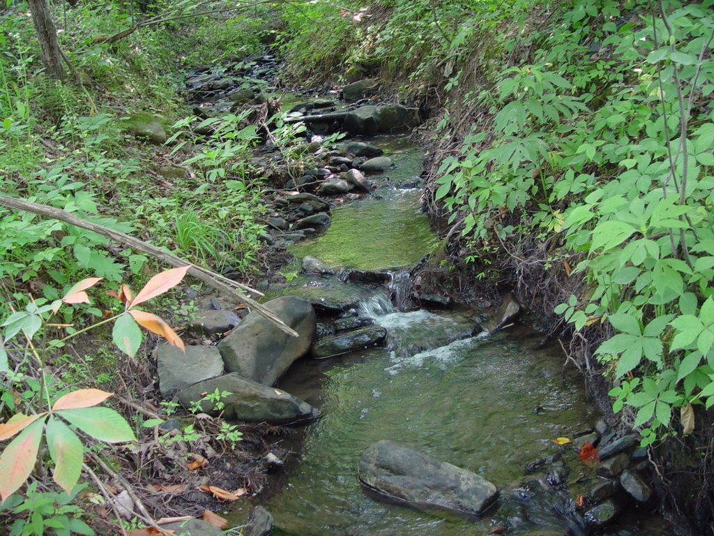
Date:6/21/06
Site Number: 1
Bottle Number: 1
Mine/Landslide/site your scouting: tackett creek between Teague mtn and King mtn
What Road are you on? Highway 90, just past tackett creek rd
Physical characteristics of where you are testing near: first gravel pull off 90 to left, down embankment
Between Mile markers:
GIS coordinates: N 36 deg 32.595’ W 084 deg 00.078’
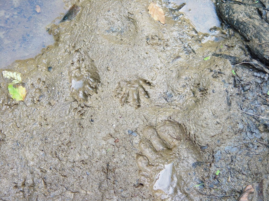
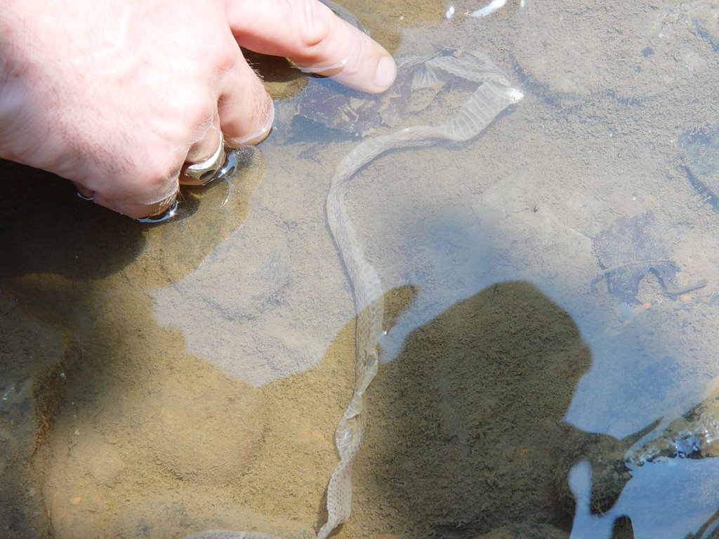
Fish: some small (less than 4 inches) darters and minnows, crayfish, water snails
Soil Smell: musty earth smell
Appearance of stream: water clear, bottom heavily sedimented brown red
Any Plants that you can identify: jewell weed, mf rose, snails, sycamores, garbage, tires, metal
Other notes: dry stream running under highway 90, looks to be wet weather conveyance at (N 36 deg 32.516; W 084 deg 00.077”)
UMD Water Field Testing
Date:6/21/06
Site Number: 2
Bottle Number: 2
Mine/Landslide/site your scouting: under Teague mtn on Rose’s Creek
What Road are you on? Rose’s Creek
Physical characteristics of where you are testing near: 50 yards from 90 on rose’s creek rd, stream right beside rd, overgrown with kudzu, stream is slow mobbing with lots of leaf litter, across street from a small landslide
GIS coordinates: N 36 deg 33.129’; W 083 deg 59.063’
Fish: small fish
Soil Smell: strange smell, undescribable
Appearance of stream: slow moving, low water, lots of leaf litter and very sedimented, shaded by vegetation, trash, houses upstream,
Turbidity: 2 on a scale of 1=clear, 5=opaque
Any Plants that you can identify: poison ivy and tiger lilly
UMD Water Field Testing
Date:6/21/06
Site Number:3
Bottle Number:3
Mine/Landslide/site your scouting: below Teague mountain
What Road are you on? Highway 90
Physical characteristics of where you are testing near: a little stream beside the Eagan post office
GIS coordinates: N 36 deg 33.295; W 083 deg58.501’
Fish: none seen
Soil Smell: not noticable
Appearance of stream: algae, slow moving water flow, shaded
Turbidity: 2.5
Time: 12:07 PM
Any Plants that you can identify: black eyed susans
UMD Water Field
Date:6/21/06
Site Number:4
Bottle Number:4
Mine/Landslide/site your scouting: buffalo creek near Miller and Teague mountain
What Road are you on? Buffalo crk rd
Physical characteristics of where you are testing near: stream is about 20 yard off of the rd, sample site 100 yds from 90, wide grtavel flood bank, but the stream itself was very small, going through farm land
GIS coordinates: N 36 deg 33.525’; W083 deg 57.872’; time- 12:18 PM
Fish: small fish, crayfish, water striders
Soil Smell: not noticable
Appearance of stream: not very sedimented, fast and slow moving parts, shaded with trees
Turbidity: 1
Any Plants that you can identify: trees, poison ivy
UMD Water Field Testing
Date: 6/21/06
Site Number: 5
Bottle Number: 5
Mine/Landslide/site your scouting:
What Road are you on?
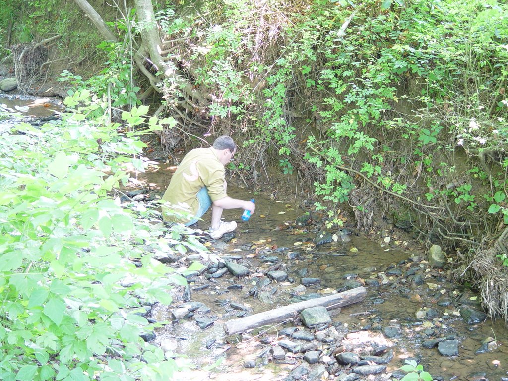
Physical characteristics of where you are testing near: Straight Crk, underbridge on rock crk, toward the way of “Holiness Church of God”, pull off right after bridge just b4 big church and walk down wide dirt road to stream and bridge, not much trash
GIS coordinates: N 36 deg 32.947’; W 083 deg 56.939’; time-12:35
Fish: small fish
Soil Smell:
Appearance of stream: green and cloudy coloration, bottom is heavily sedimented
Turbidity: stream wide fast moving, 3-4 feet deep especially where green
UMD Water Field Testing
Date:6/21/06
Site Number: 6
Bottle Number: 6
Mine/Landslide/site your scouting:
What Road are you on?
Physical characteristics of where you are testing near: small stream running into straight crk, on otherside of the bridge, just along dirt path; stream left, bridge on right
GIS coordinates: N 36 deg 32.936’; W 083 deg 56.946’; time 12:42
Appearance of stream: small stream, super slow, plenty of sediment, vegetated, water had to be scooped into bottle.
UMD Water Field Testing

Date:6/21/06
Site Number:7
Bottle Number: 7
Mine/Landslide/site your scouting: stream running off king mtn
What Road are you on? Rock creek road past way of holiness church
Physical characteristics of where you are testing near: stream runs under olf railroad trestle and into big culverts that take it under the gravel road. Fairly wide and fast moving, strange orange substance collected at sides (see pics) metal pipe across stream and piles of tin around
GIS coordinates: N36 deg 32.423’ W 083 deg 55.595’
Fish: none observed
Soil Smell: slightly metallic odor, also smells of railroad grease
Appearance of stream: fairly clear besides orange funk
Turbidity: about a 1.5
Any Plants that you can identify: MF rose, jewelweed,
UMD Water Field Testing
Date: june 21, 2006
Site Number: 8
Bottle Number: 8
Mine/Landslide/site your scouting: coming down King mtn
What Road are you on? Rock creek road
Physical characteristics of where you are testing near: small stream that runs into the stream from site 7 (see picture”end 7 8a)
GIS coordinates: N 36 deg 32.791’ W083 deg 56.320’
Fish: none observed
Soil Smell: decompostiong leaf smell
Appearance of stream: small, fast flowing clear with lots of leaf litter on bottom
Turbidity: 1
Any Plants that you can identify:
UMD Water Field Testing
Date: june 21,2006
Site Number: 9
Bottle Number:9
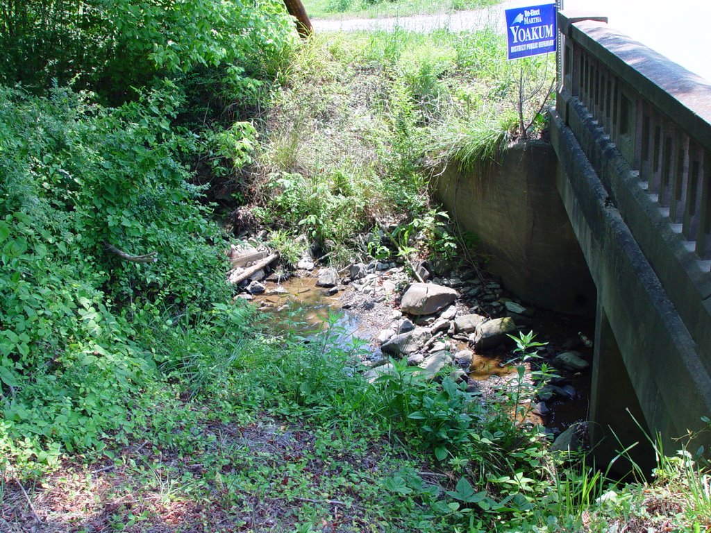
Mine/Landslide/site your scouting: between cooper ridge and leach mountain
What Road are you on? The gravel rock creek ridge road you are on splits at a sign that says “ cemeteries” with an arrow pointing left for “straight creek” and an arrow pointing right for “rock creek.” This sample is taken from across the bridge to the left of the sign
Physical characteristics of where you are testing near: 50 yards past bridge, stream is 15 yards out and down from road.
GIS coordinates: N36 deg 32.423’ W 083deg 55.595’
Fish: none observed
Soil Smell: not noticible
Appearance of stream: grayish green and murky
Turbidity: 3.5
Any Plants that you can identify:
UMD Water Field Testing Check List
Date: june 21 2006
Site Number: 10
Bottle Number: 10
Mine/Landslide/site your scouting:
What Road are you on? Right below bridge to the left of the cemetery sign
Physical characteristics of where you are testing near: smaller creek that flows into straight creek right at road split below bridge
GIS coordinates: N 36 deg W 083 deg 55.607’
Fish: none observed
Soil Smell: leafy, earthy
Appearance of stream: pretty clear, fast moving, windy
Turbidity: 1.5
Any Plants that you can identify:
UMD Water Field Testing Check List
Date: june 21, 2006
Site Number: 11
Bottle Number: 11
Mine/Landslide/site your scouting: coming down off cooper ridge
What Road are you on? The road to the left of the cemetery sign I think its called straight creek road
Physical characteristics of where you are testing near: little stream to the left of the road that goes under it in a culvert
GIS coordinates: N 36 deg 32.429’ W 083 54.069
Fish: none
Soil Smell: moldy smell
Appearance of stream: lots of algae, orangish sediment, sort of patheticly trash littered
Turbidity: 2
Any Plants that you can identify:
posted by petunia @ 12:15 PM
25 comments
![]()
